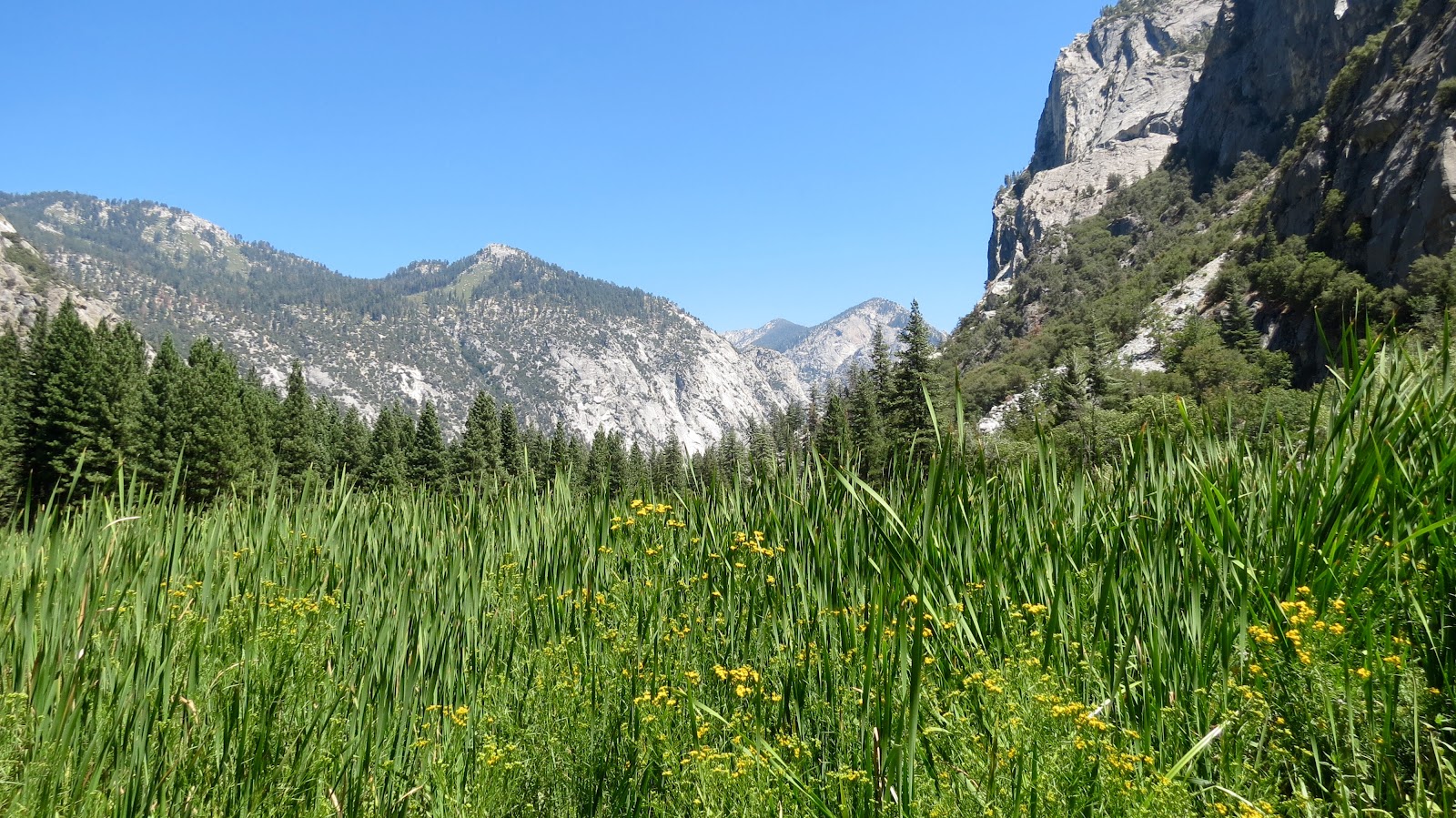
Kings Canyon National Park is part of an interconnecting network of Sequoia National Forest, Sequoia National Park, Jenny Lakes Wilderness Area and Inyo National Forest and other national protected areas and administered in conjunction with Sequoia National Park (a combined 865,964 acres of which 96% is Designated Wilderness)... To see what I am describing, just take a look at a map of the area ... All of the land dedicated to preserving the Sierra Nevadas as a true wilderness area.
We are in a campground, Stony Creek Recreational Area in Sequoia National Forest, but near to Kings Canyon National Park. The campsite is sheltered by tall trees and we have our own "baby" sequoia near our driveway entry. In addition to the majesty of the forest, the cooler daytime temperatures (70s) and even cold evening temperatures (40s), has our little southwestern desert hearts swooning with cool excitement.


Paul, in his helpful mode, tried to help a Chinese family get the picture that they wanted with all four of them and the running Kings River in the background ... We were all fortunate that he didn't fall over the bridge in his effort ;-)


We also took the relatively short hike up to the Roaring River Falls ...


We were incredibly struck by the environmental impact to this national park of the extended drought and the 2015 Rough Fire. The drought has left the ground dry; the pine bark beetle has devastated the forest; the 2015 Rough Fire finished off what trees and shrubs remained. The geology is impressive ... And, in some ways, the rock formations are more visible because of the burnt landscape. The road was blocked several times by work crews removing trees damaged and dead by pine bark beetle and by fire. This is a national park under extreme environmental stress even as the wild and scenic Kings River runs through the heart of the canyon. During the year of the 100th anniversary of the National Park Service, one wonders what these national treasures may look like in another 100 years ...
2 comments:
The extended drought is so severe it just makes us sad to see the changes - and to contemplate just ten years hence much less 100 years hence. I don't think the geology will change much, and these features and terrain are just amazing. We are so happy you are making this trip and sharing your images and impressions!
If you can manage a visit to Rock Creek in the Eastern Sierras please do so. It shouldn't be too crowded, but is (was?) just beautiful and at the tree line. Catch a few golden trout!
You go, guys!
The California and western drought has been made tangible during this trip ... Can't believe that Gov. Jerry Brown lifted the state-wide water restrictions! The pine bark beetle is laying waste to wide swaths of forest land. It appears as if a large part of the NPS budget is going to cutting down damaged trees too close to the road for safety of travel. We've run into one road closure (down to one lane of travel) after another as the crews work to cut down dead and dying trees too close for safety.
We'll add Rock Creek in the Eastern Sierras to the list for a subsequent trip. Paul has been reading a book, History of the Sierras, and has been quite taken with the drama, inaccessibility, and grandeur of these magnificent and remote mountains.
Post a Comment