Wednesday, August 17, 2016

Tuolumne Meadows - Yosemite National Park - 8/12/16

Tuolumne Meadows - Yosemite National Park - 8/12/16

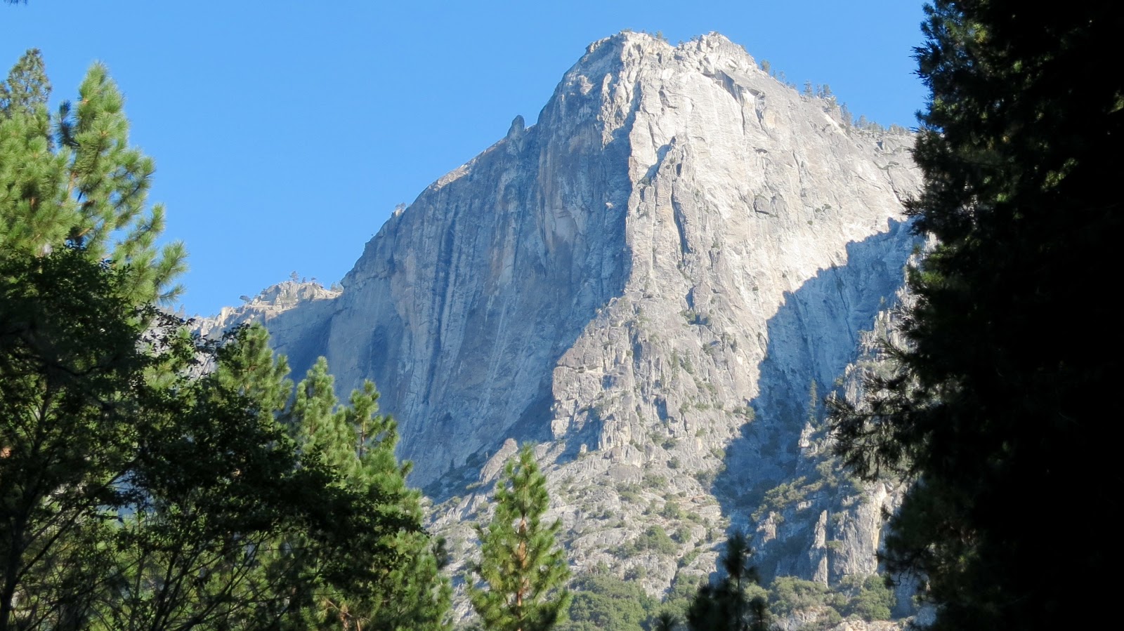
Our campground was going to hit temperatures in the high 90s (a heat wave, of course) ... So, we went off in search of cooler temperatures (and a gentler hike after the gut-buster to Nevada Falls).

We drove along the Tioga Road in the northern section of Yosemite National Park to Tuolumne Meadows.  First, a stop along the Tioga Road at the Olmstead Vista Point (yes, Olmstead as in Frederick Law Olmstead, landscape architect who designed Central Park in NYC as well as many others ... He personally provided the funds to survey the area that was to become Yosemite National Park).


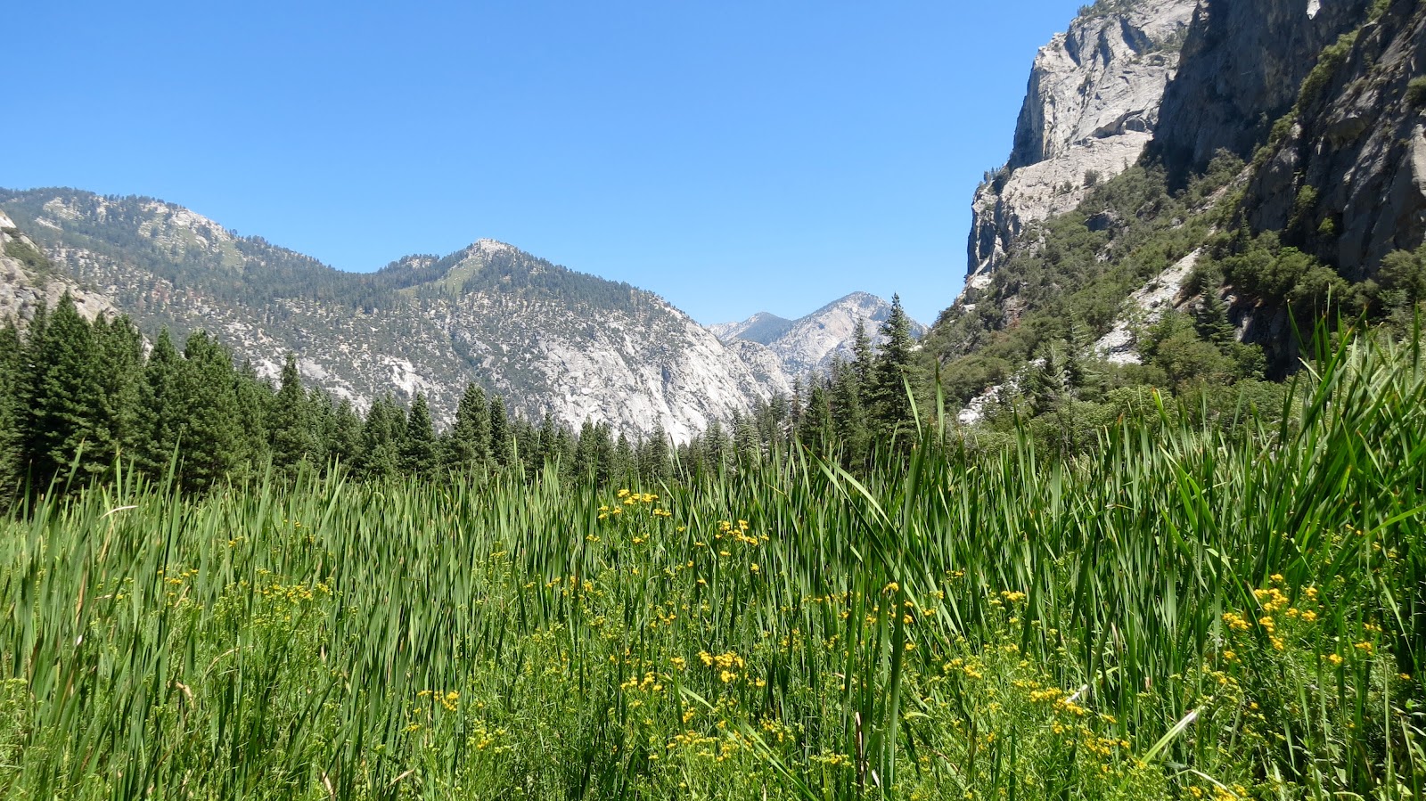
We hiked along the John Muir Trail (still working on my "inner John Muir") over Dana Creek to Lyell Canyon and hiked along Lyell Canyon back to the Tuolumne Meadows.  Along the way we found the way that parents convinced their children to hike ... The secret to their success was to offer them time to play in the pools that were created by the creek.


Overheard on the trail:  One set of parents had an approximately 5 year old boy questioning his mother about her apparent pregnancy ... "How did the baby get into your stomach?"  "Did you eat it?" ... I only wish that we were on the trail in the same direction long enough for me to hear how she handled those questions.  It was clear that he was going to be insistent on an answer ... (And might be concerned about what was in the food ;-)

Lambert's Dome loomed large, but we decided not to join the folks climbing to the top ... Good call


Nevada Falls - Yosemite National Park - 8/11/16


Nevada Falls - Yosemite National Park - 8/11/16

We drove into Yosemite National Park early to get a parking spot ... Our national parks are clearly being loved to death.  Picked up a sandwich from Dunegan's Deli ... Off to a crowded park shuttle to get to Happy Isles bridge to begin our day's hike to Nevada Falls from the valley floor.


A couple of decades ago, we took Sander on a hike to Vernal Falls (below Nevada Falls) formed by the Merced River flowing down from the high Sierra Mountains.  This time we followed the Mist Trail (leads to Vernal Falls) to the John Muir Trail to the top of Nevada Falls ... 5.4 miles RT,1,900 foot elevation gain.


An amazingly beautiful hike ... One step in front of another ... Searching for my "inner John Muir" ... He was one tough Scotsman!


Pack horses unwilling to give me a ride down the hill ... (Bringing down supplies/garbage from the high Sierra camp huts).


And, of course, I had to see the movie at the Visitor's Center ... It felt so good to sit in a cool, dark theater for a half hour before the ride home.

Amazing crowds in Yosemite Valley ... Truly stunning crowds ... Crowded shuttle buses (think of sardines ... Or the Japanese subways where there are professional "pushers" to stuff more people into the subway cars) ... Crowded sidewalks (think Times Square) ... Traffic jams on the bike trails ... A department of traffic management regulating the inflow and outflow of traffic from the parking lots ... (Note to self:  No more national parks in the summer!).

Yet, for all of the crowding, it was all well managed ... All of the staff in the park took their time to answer questions, worked to reduce the lines, smiled and greeted the polyglot streams of visitors ... And kept the whole machinery moving along ...  I doubt that I would have lasted a day if I worked here.

Hard to imagine that some people can express distrust and dismay in the government when these hard-working federal employees manage to make these experiences possible for the world to enjoy.  I would like to see a media campaign with the faces of these NPS Rangers making Yosemite accessible to the world with patience, knowledge and good humor.  Cheers to all of them!


Sunday, August 14, 2016

Stony Creek Campground to KOA West Yosemite/Mariposa - 8/10/16

Stony Creek Campground to KOA West Yosemite/Mariposa - 8/10/16

We left Stony Creek Campground this morning ... It was 37 degrees when we left.  Paul turned on the seat warmer in Fritz just to warm himself as we drove.  We definitely found the "cool" in a summer vacation.

We checked into KOA West Yosemite/Mariposa ... About 22 miles from the Arch Rock entrance to Yosemite National Park (west entrance).  We are trying out KOA campgrounds to get a sense of their utility as a campground option when the campgrounds in national parks are not available ... This is particularly important since most of the national park campgrounds do not have electrical, water and/or sewer connections.  We can "dry camp" (run off of our own battery power and our water storage and black/gray water storage tanks) for four to five days (max), but then we need to connect to recharge, refill and evacuate.  KOA seems to have a fairly standardized "product" with predictable services ... But a bit crowded, a bit further away than we'd prefer and a bit structured.

However, we are in the midst of a veritable United Nations of fellow campers ... With almost all of the campers in this KOA campground being international visitors renting an RV for their summer American vacation to the iconic national parks/world heritage sites in the western United States.  It is a fascinating melange of languages, customs, and different ways to camp (a German father and teenage son having quite a conflict on how to connect the water hose ... When I returned later, the cable television was connected, but not the water.   An Asian family gathered around four charcoal briquettes in a grill trying to cook dinner ... Finally the grandmother collected twigs to build a fire in a grill ... Ignoring all of the fire restriction signs.  Another German father and sons trying to decipher the difference between the washers and the dryers in the laundry room ... Not wanting to return to the family camper without having washed their clothes.  An Italian family passionately discussing something that was a complete mystery to me ... I think that it might have been the appropriate way to back up the RV.  And everyone using so much lighter fluid to get their charcoal grills going for an "American dinner" that the air reeks of lighter fluid ... Even adding more lighter fluid to already raging fires.).  I'd love to have an "app" that takes a sample of the spoken language and gives back the language being spoken.  We can guess the major European language groups, but there is quite an array of visitors to our country taking on the challenges of navigating our highways, byways, national parks, rental RVs and campgrounds ... We have challenges at times and we are a part of this culture ... I can only salute the many visitors who are dedicated to exploring our lands ...

Congress Trail - Sequoia National Park - 8/9/16 - Bambi Casts His Vote!

Congress Trail - 8/9/16

To honor Congress for funding the Sequoia National Park, the National Park Service created the Congress Trail ... A 2 mile loop through a magnificent stand of sequoias tucked into a healthy, forest environment ... Limited evidence of fire damage, restricted pine bark beetle damage ... Streams carving their way through the forest bed with scattered granite boulders on the hillsides and overlooks.

For the upcoming election, Bambi has decided to cast a vote for President - Sequoia


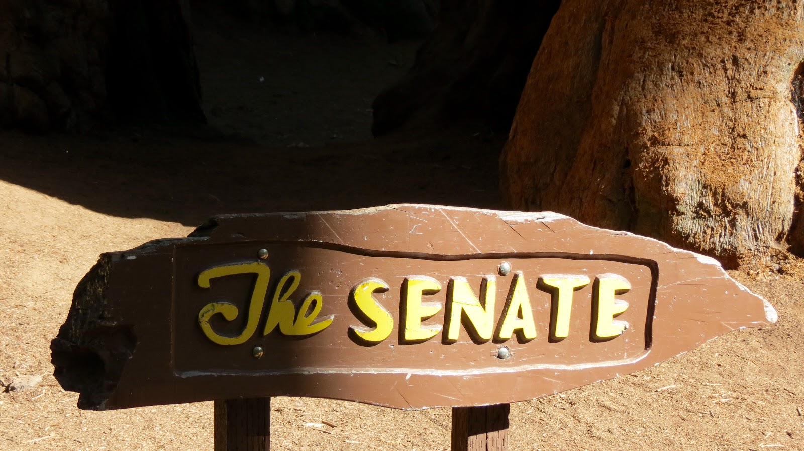
For the Senate - Sequoias


For the House of Representatives - More Sequoias


A vote for the future ...


Exploring Kings Canyon and Sequoia National Parks - 8/9/16

Kings Canyon and Sequoia National Parks - 8/9/16

A day of several, shorter hikes ... Adding up to 9 miles of trails through both Kings Canyon and Sequoia National Parks.

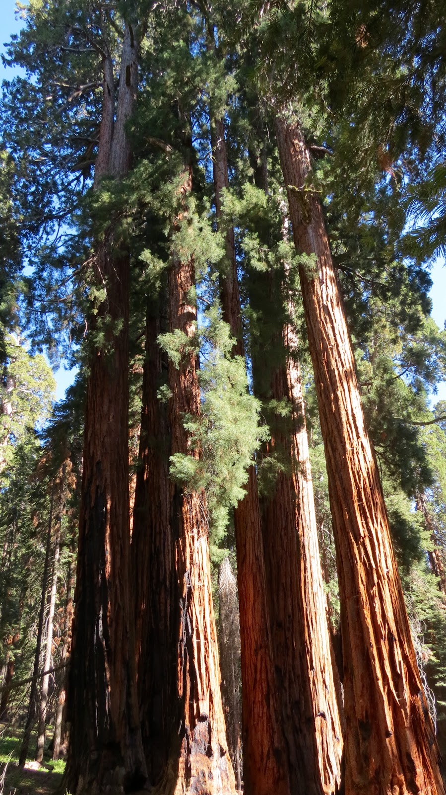
We began with a walk to the General Grant Tree, third largest tree in the world, largest sequoia in girth (40 feet across) ... Too hard to capture with a camera as the crown just drifts above the forest level ... Even the branches look as if they'd be over-sized trees in their own right.  We continued our hike along the North Grove Loop to walk more peacefully among the giant sequoias tucked in with their other pine, cedar and fir friends, but again the damage by fire and the pine bark beetle was ever present, distracting from the forest grandeur.


We took a drive to a panoramic vista point overlooking Kings Canyon and Hume Lake ... A narrower, one lane, steep climbing, switch backing road and a short hike to a vista point.  The view gave a glimpse into the High Sierras, even some sightings of snow on the slopes of the higher (13,000+ feet) mountains, but also wide swaths of pine bark beetle devastation and fire damage.


Our next hike took us on the Big Stumps Trail ... Sort of a graveyard of the remaining stumps of huge sequoias that were harvested for lumber.  Even one stump, the Mark Twain Stump, from a sequoia that was cut down just to harvest a cross-section for the American Museum of Natural History in New York City to show the size of a grown sequoia.  This was a bit of a sad, almost bewildering hike, looking at the stump of one gigantic tree after another ... Wondering what was going through the minds of the lumberjacks ... Was it just a job or did they have an appreciation of the other worldly aspect of this botanical equivalents of dinosaurs (Paul's phrase)?


We finished the afternoon with a late hike to the General Sherman Tree, the world's largest tree, and then took the loop along the Congress Trail.  I must admit that it was my favorite trail ... We left the hordes of vacationing folks behind and wandered through a quiet forest populated by these enormous sequoias tucked in with other forest trees ... The forest appeared to be healthy, minimal fire damage, limited pine bark beetle, sequoias of all ages interspersed in a cool, temperate forest ... Away from the throngs of visitors ... Quite a treat for us!


Wednesday, August 10, 2016

Stony Creek Campground - Kings Canyon National Park - 8/8/16

Kings Canyon National Park - 8/8/16

Kings Canyon National Park is part of an interconnecting network of Sequoia National Forest, Sequoia National Park, Jenny Lakes Wilderness Area and Inyo National Forest and other national protected areas and administered in conjunction with Sequoia National Park (a combined 865,964 acres of which 96% is Designated Wilderness)... To see what I am describing, just take a look at a map of the area ... All of the land dedicated to preserving the Sierra Nevadas as a true wilderness area.

We are in a campground, Stony Creek Recreational Area in Sequoia National Forest, but near to Kings Canyon National Park.  The campsite is sheltered by tall trees and we have our own "baby" sequoia near our driveway entry.  In addition to the majesty of the forest, the cooler daytime temperatures (70s) and even cold evening temperatures (40s), has our little southwestern desert hearts swooning with cool excitement.


Our hike today along the South Fork of the Kings River was quite a bit warmer ... The river runs through a steep, glacier carved, granite valley at around 3,000 feet elevation ... About 17 degrees warmer than up at our campground.


Paul, in his helpful mode, tried to help a Chinese family get the picture that they wanted with all four of them and the running Kings River in the background ... We were all fortunate that he didn't fall over the bridge in his effort ;-)


We hiked around Zumwalt Meadow and along the River Trail to the Road's End ... Literally, Highway 180 simply ends when it hits the Sierra Nevada mountains ... The rest of the way is the province of backpackers making their way into the high Sierra Nevada mountains.


We also took the relatively short hike up to the Roaring River Falls ...


We were incredibly struck by the environmental impact to this national park of the extended drought and the 2015 Rough Fire.  The drought has left the ground dry; the pine bark beetle has devastated the forest; the 2015 Rough Fire finished off what trees and shrubs remained.  The geology is impressive ... And, in some ways, the rock formations are more visible because of the burnt landscape.  The road was blocked several times by work crews removing trees damaged and dead by pine bark beetle and by fire.  This is a national park under extreme environmental stress even as the wild and scenic Kings River runs through the heart of the canyon.  During the year of the 100th anniversary of the National Park Service, one wonders what these national treasures may look like in another 100 years ...


Way Station -Barstow, CA - 8/7/2016

Way station - Barstow, CA - 8/7/2016

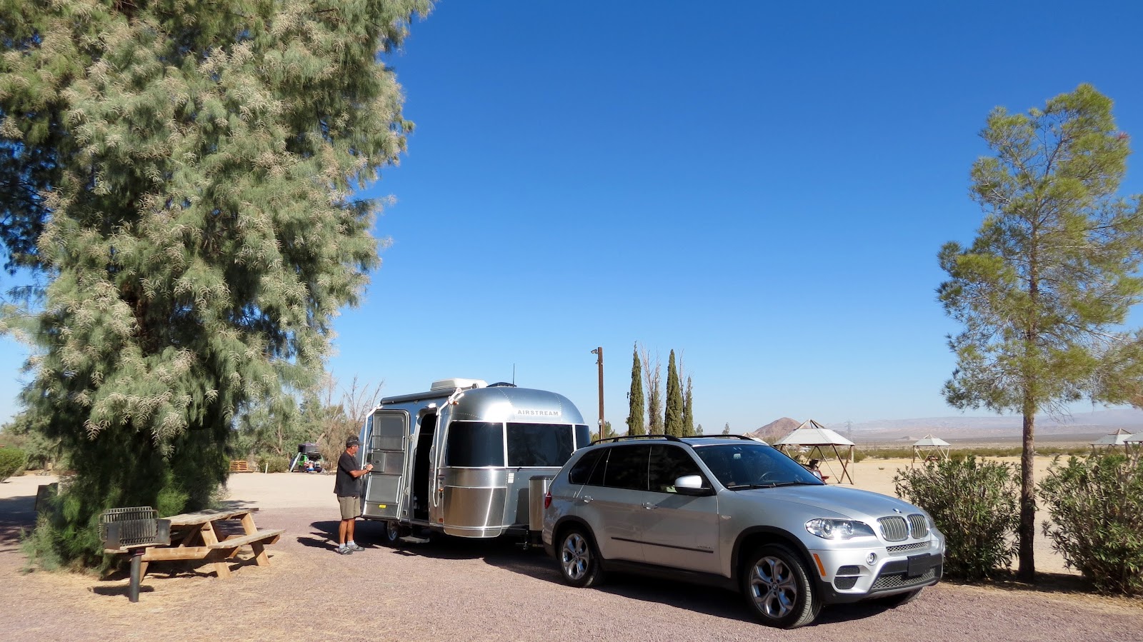
We are on our way with a stop over at a KOA in Barstow, California.  It always seems to take such a flurry of activity to get ourselves launched, and then, we find ourselves on the road (marveling that it all comes together).  Bambi had confidence that we'd pull it off ...

Barstow is not a destination, more of a way station for various folks in transit to somewhere else.  Our neighbor, Cass, lives in California, but was from Texas and was returning to Texas.  The dry heat and stiff winds alone make Barstow only a stopping point in a journey ...


Some travel trailers never left ...


Several signs warned about the poisonous nature of oleander and yet the plants seemed to grow well ... As did the tamarisk trees ... The palm trees were not finding desert magic ...


Air conditioning made it all possible ...
The campground sent us off with a wooden carving of a "peace" sign ... Perhaps a hold over from the 60's (kind of like us ;-)