Sunday, August 14, 2016

Congress Trail - Sequoia National Park - 8/9/16 - Bambi Casts His Vote!

Congress Trail - 8/9/16

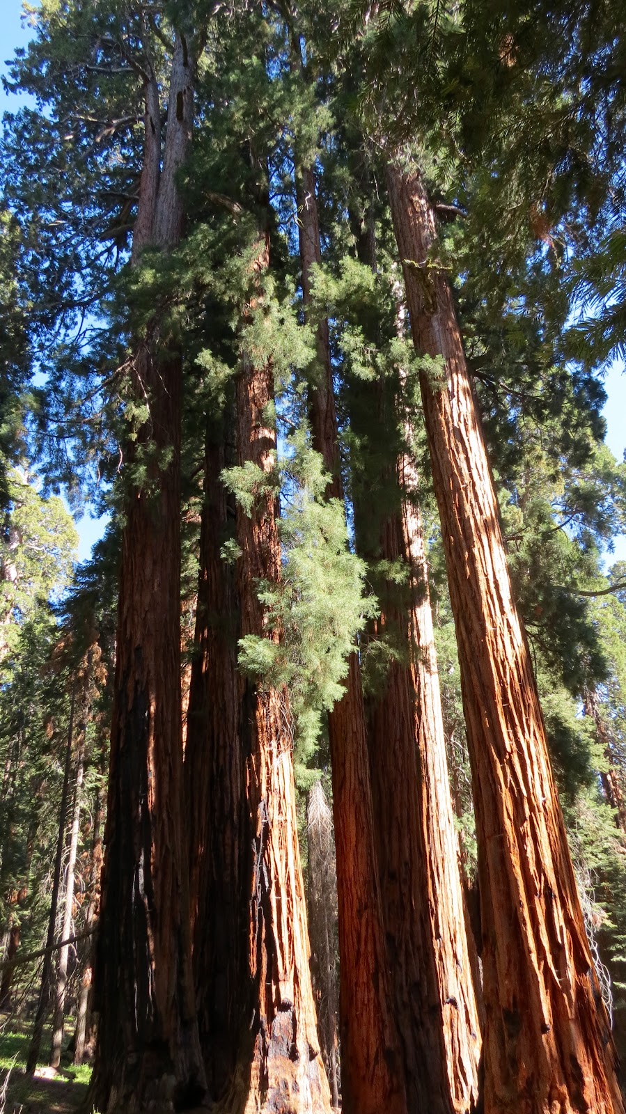
To honor Congress for funding the Sequoia National Park, the National Park Service created the Congress Trail ... A 2 mile loop through a magnificent stand of sequoias tucked into a healthy, forest environment ... Limited evidence of fire damage, restricted pine bark beetle damage ... Streams carving their way through the forest bed with scattered granite boulders on the hillsides and overlooks.

For the upcoming election, Bambi has decided to cast a vote for President - Sequoia


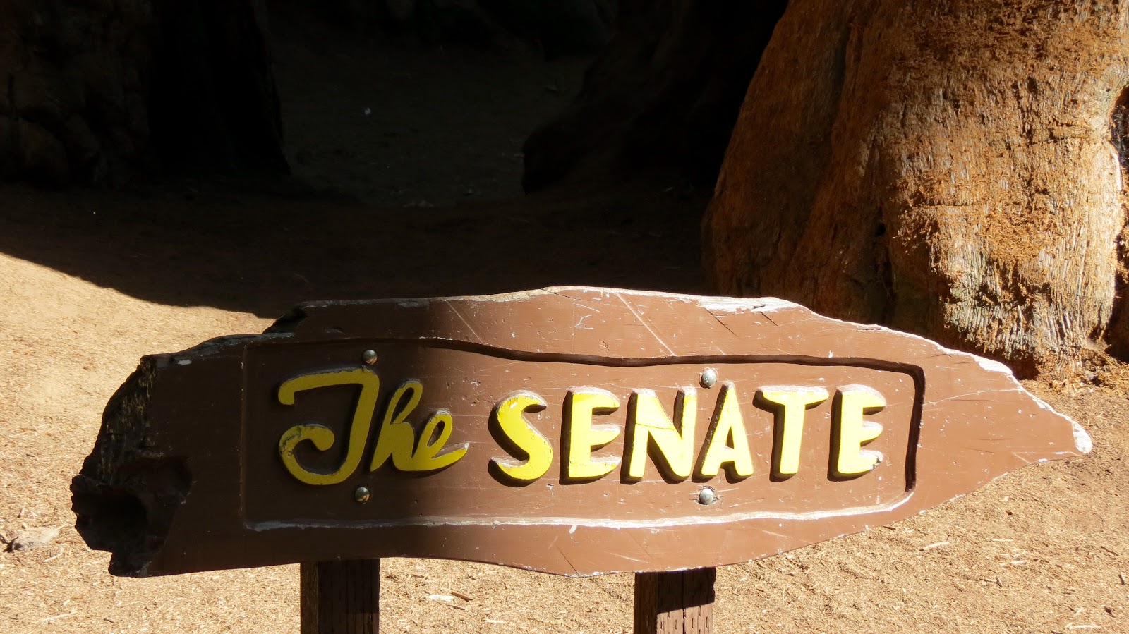
For the Senate - Sequoias


For the House of Representatives - More Sequoias


A vote for the future ...


Exploring Kings Canyon and Sequoia National Parks - 8/9/16

Kings Canyon and Sequoia National Parks - 8/9/16

A day of several, shorter hikes ... Adding up to 9 miles of trails through both Kings Canyon and Sequoia National Parks.

We began with a walk to the General Grant Tree, third largest tree in the world, largest sequoia in girth (40 feet across) ... Too hard to capture with a camera as the crown just drifts above the forest level ... Even the branches look as if they'd be over-sized trees in their own right.  We continued our hike along the North Grove Loop to walk more peacefully among the giant sequoias tucked in with their other pine, cedar and fir friends, but again the damage by fire and the pine bark beetle was ever present, distracting from the forest grandeur.


We took a drive to a panoramic vista point overlooking Kings Canyon and Hume Lake ... A narrower, one lane, steep climbing, switch backing road and a short hike to a vista point.  The view gave a glimpse into the High Sierras, even some sightings of snow on the slopes of the higher (13,000+ feet) mountains, but also wide swaths of pine bark beetle devastation and fire damage.


Our next hike took us on the Big Stumps Trail ... Sort of a graveyard of the remaining stumps of huge sequoias that were harvested for lumber.  Even one stump, the Mark Twain Stump, from a sequoia that was cut down just to harvest a cross-section for the American Museum of Natural History in New York City to show the size of a grown sequoia.  This was a bit of a sad, almost bewildering hike, looking at the stump of one gigantic tree after another ... Wondering what was going through the minds of the lumberjacks ... Was it just a job or did they have an appreciation of the other worldly aspect of this botanical equivalents of dinosaurs (Paul's phrase)?


We finished the afternoon with a late hike to the General Sherman Tree, the world's largest tree, and then took the loop along the Congress Trail.  I must admit that it was my favorite trail ... We left the hordes of vacationing folks behind and wandered through a quiet forest populated by these enormous sequoias tucked in with other forest trees ... The forest appeared to be healthy, minimal fire damage, limited pine bark beetle, sequoias of all ages interspersed in a cool, temperate forest ... Away from the throngs of visitors ... Quite a treat for us!


Wednesday, August 10, 2016

Stony Creek Campground - Kings Canyon National Park - 8/8/16

Kings Canyon National Park - 8/8/16

Kings Canyon National Park is part of an interconnecting network of Sequoia National Forest, Sequoia National Park, Jenny Lakes Wilderness Area and Inyo National Forest and other national protected areas and administered in conjunction with Sequoia National Park (a combined 865,964 acres of which 96% is Designated Wilderness)... To see what I am describing, just take a look at a map of the area ... All of the land dedicated to preserving the Sierra Nevadas as a true wilderness area.

We are in a campground, Stony Creek Recreational Area in Sequoia National Forest, but near to Kings Canyon National Park.  The campsite is sheltered by tall trees and we have our own "baby" sequoia near our driveway entry.  In addition to the majesty of the forest, the cooler daytime temperatures (70s) and even cold evening temperatures (40s), has our little southwestern desert hearts swooning with cool excitement.


Our hike today along the South Fork of the Kings River was quite a bit warmer ... The river runs through a steep, glacier carved, granite valley at around 3,000 feet elevation ... About 17 degrees warmer than up at our campground.


Paul, in his helpful mode, tried to help a Chinese family get the picture that they wanted with all four of them and the running Kings River in the background ... We were all fortunate that he didn't fall over the bridge in his effort ;-)


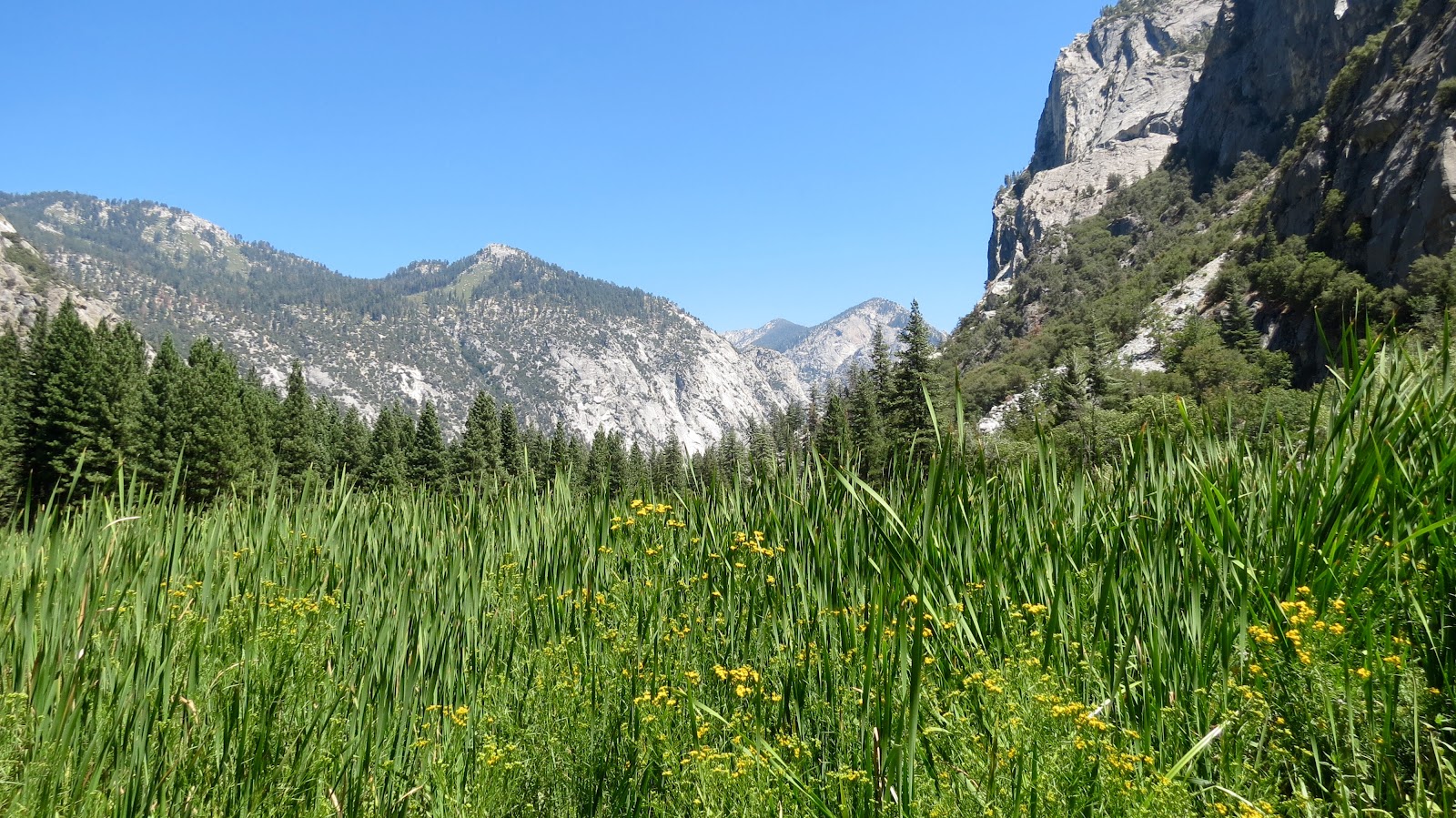
We hiked around Zumwalt Meadow and along the River Trail to the Road's End ... Literally, Highway 180 simply ends when it hits the Sierra Nevada mountains ... The rest of the way is the province of backpackers making their way into the high Sierra Nevada mountains.


We also took the relatively short hike up to the Roaring River Falls ...


We were incredibly struck by the environmental impact to this national park of the extended drought and the 2015 Rough Fire.  The drought has left the ground dry; the pine bark beetle has devastated the forest; the 2015 Rough Fire finished off what trees and shrubs remained.  The geology is impressive ... And, in some ways, the rock formations are more visible because of the burnt landscape.  The road was blocked several times by work crews removing trees damaged and dead by pine bark beetle and by fire.  This is a national park under extreme environmental stress even as the wild and scenic Kings River runs through the heart of the canyon.  During the year of the 100th anniversary of the National Park Service, one wonders what these national treasures may look like in another 100 years ...


Way Station -Barstow, CA - 8/7/2016

Way station - Barstow, CA - 8/7/2016

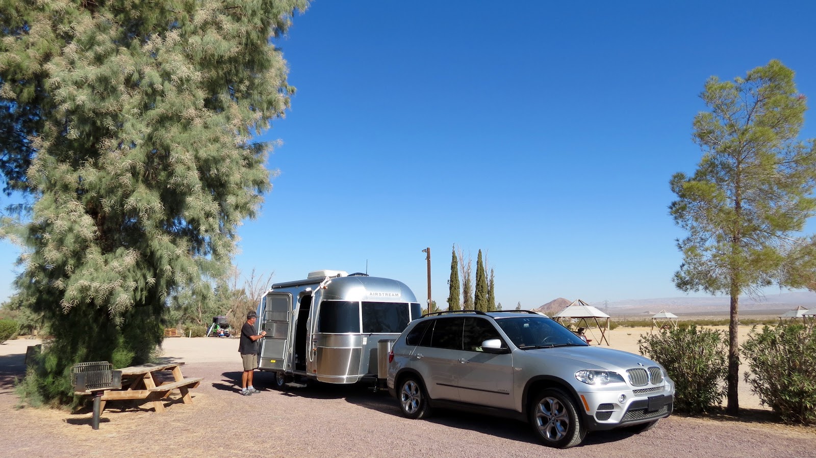
We are on our way with a stop over at a KOA in Barstow, California.  It always seems to take such a flurry of activity to get ourselves launched, and then, we find ourselves on the road (marveling that it all comes together).  Bambi had confidence that we'd pull it off ...

Barstow is not a destination, more of a way station for various folks in transit to somewhere else.  Our neighbor, Cass, lives in California, but was from Texas and was returning to Texas.  The dry heat and stiff winds alone make Barstow only a stopping point in a journey ...


Some travel trailers never left ...


Several signs warned about the poisonous nature of oleander and yet the plants seemed to grow well ... As did the tamarisk trees ... The palm trees were not finding desert magic ...


Air conditioning made it all possible ...

The campground sent us off with a wooden carving of a "peace" sign ... Perhaps a hold over from the 60's (kind of like us ;-)


Sunday, April 3, 2016

Chiricahua National Monument - Faraway Ranch and Snow

Go figure ... it has been a warmer than average (by 10 to 12 degrees) spring and we managed to go camping for the few days of a cold spell ... complete with snow!  The snow did not stick and quickly turned to a cold, intermittent rain, but cold and gray nonetheless.  We were very glad to have had our hike to Heart of Rocks yesterday when we had blue skies.  And decided to leave a day early than planned, but not before a big breakfast and another hike ...

We had breakfast with the McDougals and a couple of friends who wanted some of Jim's bacon.  Kathy caught the Mexican jays in the act of scoping out possibilities ...


We took a shorter hike down to the Faraway Ranch site in the Monument (Jim and Kathy drove ... doctor's orders ... minimize walking, maximize healing).  This was a guest ranch established by hard-working Swedish immigrants, Emma and Nels Erickson, and their daughters, Lillian and Hildegard, and later owned by their son, Benjamin.  Lillian and her husband, Ed Riggs, took a major role in both creating the guest ranch and in pushing to create the Chiricahua National Monument (1924).  Ed was also the trail supervisor for a C.C.C. that built most of the trail system in the Monument.  Good reason to encourage immigration to our country ... hard-working, risk-taking, energetic and forward-looking immigrants can and do make our country great ... no walls, please!


US Forest Service volunteer interpreting the history of Faraway Ranch ... note the fireplace which has rocks inscribed by soldiers who had left their names in rocks that had built a memorial at the entry of the canyon and were incorporated into the fireplace, including the name of a future president, James Garfield, and the name of the first African American graduate of West Point Academy, H. O. Flipper.


On our way back we found some Coue's white-tailed deer enjoying the meadow that previously had housed the C.C.C. camp... (smaller deer, found at higher elevations in Arizona)


And, we introduce a couple of Bambi's new travel companions, Olivia and her son, Rojo, who hope to join Bambi on all of his travels ...


Saturday, April 2, 2016

Chiricahua National Monument - Heart of Rocks Trail

Another quick trip out to explore our desert Southwest ... Bambi wants to make sure that we realize that we can take short outings to explore our own backyard as well as taking longer trips. We made reservations, months ago, to stay at the Bonita Campground in the Chiricahua National Monument with our friends, Jim and Kathy McDougal, and Bambi's fellow traveler, Lucy.  


Bambi tucked into a tight space in Bonita Campground in the Chiricahua National Monument.


Jim McDougal with his travel trailer, Lucy. 

You may notice a walking "boot" on Jim's right foot ... unfortunately his foot met with an offending rock while exiting Bambi on the first night (while preparing steaks for all of us) resulting in a broken toe necessitating a quick visit to Willcox for urgent care while we went on a hike to the Heart of Rocks area.  Kathy accompanied Jim to Willcox while we headed out on a hike from the Visitor's Center on the Lower Rhyolite Trail on to the Sarah Deming Trail up to the Heart of Rocks area ... 8.4 miles, 1,700+ elevation gain, but worth every step.


View of the rhyolite columns from the Lower Rhyolite Trail.


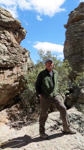
My hiking buddy ...


and me ...


Pinnacle Balanced Rock


"Punch and Judy" rock formation 


And, as always, the data, this time on an iPhone App, Gaia, that Paul is testing in lieu of using the GPS ...

As an added note, Paul also used this data at the Visitor's Center to document the fact that we had hiked over 5 miles netting us both a pin that is being handed out as part of a Hike for Health program in the National Park system ... this pin featured the Chiricahua National Monument logo with the tag line "Rhyolite Rocks!".  


Spring is coming a bit slowly at this elevation, but some early bloomers out ...

Tuesday, February 16, 2016

A Quick Trip Out - Catalina State Park

More of a proof-of-concept trip ... Paul, and our friend, Jim, both Sabino Canyon Volunteer Patrol  members, had a picinic for Sabino Canyon Volunteer Patrol and the new class of patrol members at Catalina State Park.  Jim arranged for camping spots at the Catalina State Park for his travel trailer, Lucy, and our rig, Bambi, to spend the weekend camping, hiking and attending the picnic.  The proof-of-concept was to prove to ourselves that we could quickly stock-up Bambi, take a short weekend trip, and return and unload quickly, returning Bambi back to his storage facility.  


We had an opportunity, before the picnic, to head out on a hike with our friends, Jim and Kathy, on the Sutherland Trail, where Sutherland Creek was still flowing with snow melt ...


We also had Sander and Hillary visiting us ... they took the opportunity to head to Sedona for mountain biking trip while we went camping.  


It all worked ... and worked out well ... opening the door for future shorter forays in Bambi.

Bambi is quite excited about the option of quick get-aways ...